*Sana'a | Thursday, October 29, 2026*
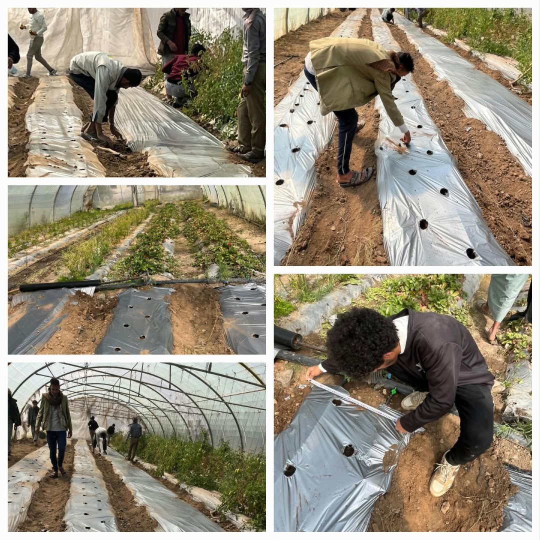
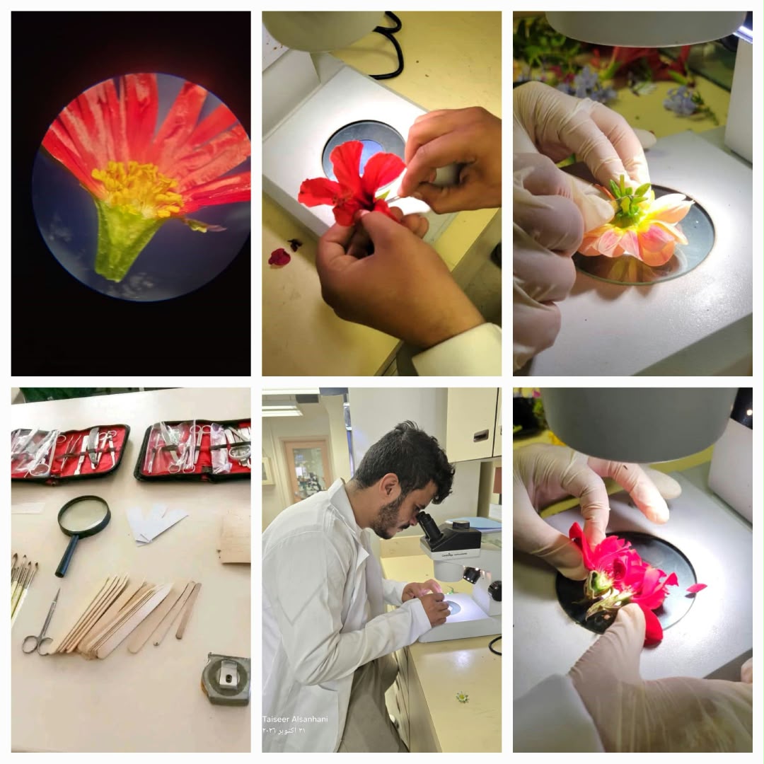
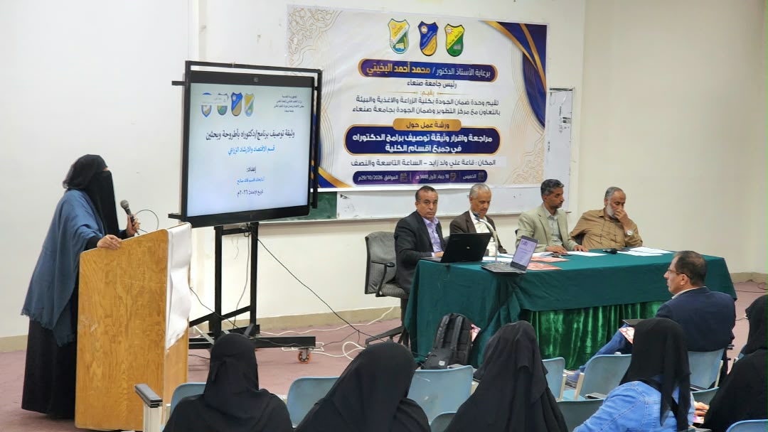
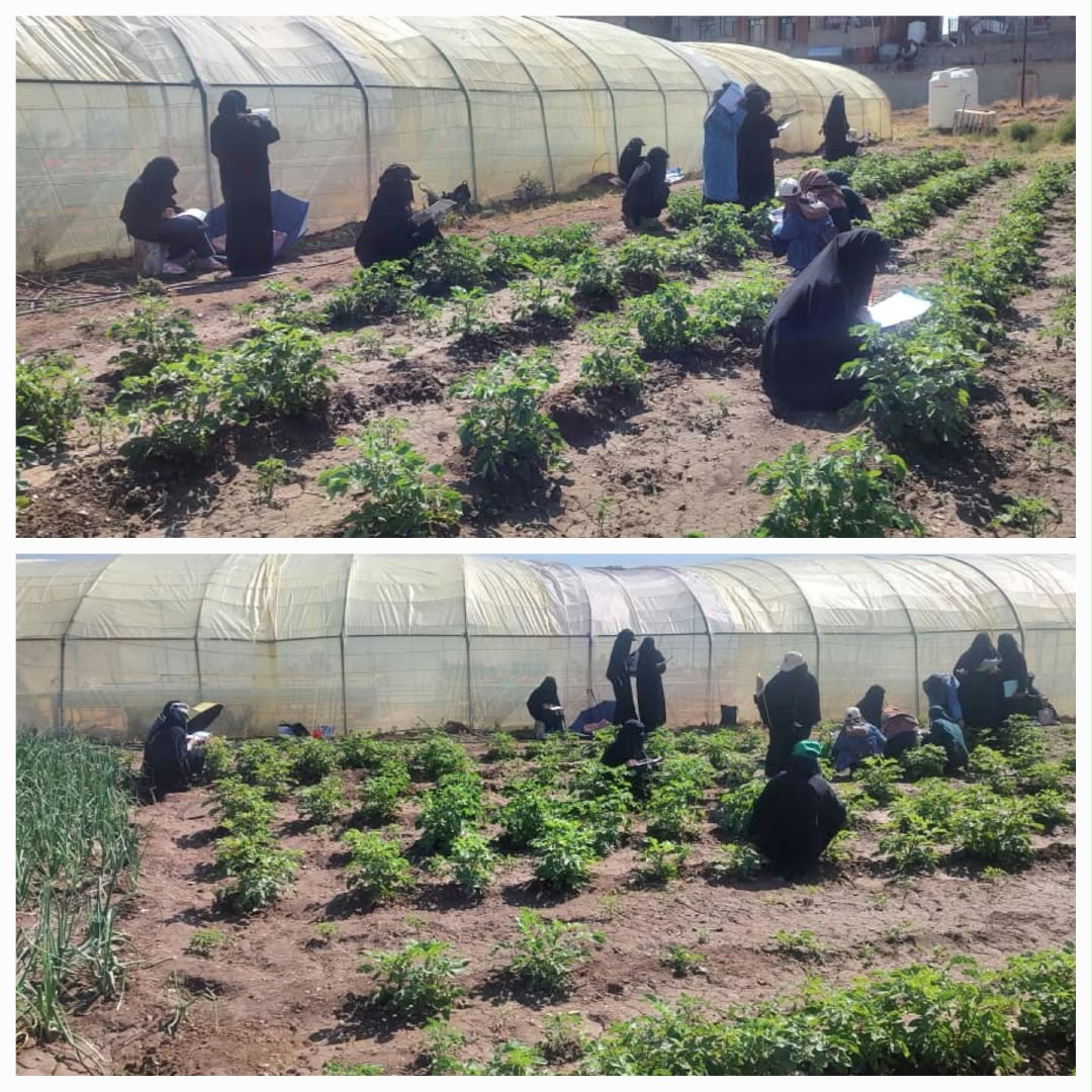
As part of its academic activities, the Department of Horticulture and Its Techniques at the Faculty of Agriculture, Food, and Environment - Sana'a University organized a lecture titled "The Role of Remote Sensing and Geographic Information Systems in Agricultural Fields." The lecture was delivered by Eng. Sami Moheb Al-Deen, Director of the Remote Sensing Department at the Yemen Remote Sensing Center, with the aim of enhancing students' knowledge of modern technologies and their applications in the agricultural sector.
The lecture reviewed the fundamental concepts of remote sensing and Geographic Information Systems (GIS), highlighting their importance in collecting and analyzing spatial data to generate information that supports agricultural planning, natural resource monitoring, and improved land and water management—thereby contributing to higher resource-use efficiency and promoting the sustainability of agricultural activities.
Additionally, the presentation addressed the application of these technologies in advancing agricultural practices, providing essential data to track environmental and agricultural changes, and supporting evidence-based decision-making grounded in spatial data and scientific analysis. It also emphasized the role of these tools in keeping pace with technological advancements and expanding the horizons of scientific research in agricultural disciplines.
This lecture aligns with the ongoing efforts of the Department of Horticulture and Its Techniques at the Faculty of Agriculture, Food, and Environment to strengthen scientific and applied activities and to bridge academic knowledge with modern technological developments, ultimately enhancing students' skills and preparing qualified agricultural professionals capable of leveraging modern technology to serve the agricultural sector in Yemen.
Department of Horticulture and Its Techniques at Sana'a University Organizes Scientific Lecture on Remote Sensing Applications in Agriculture
7 views
256 words
2 min read